S22 Senderos Gran Canaria
Valsequillo - San Mateo - Cruz Piquillo - Teror

We begin our journey from the town centre of Valsequillo and on towards the mountain of El Helechal and the Montañón, to enter the centre of the Vega de San Mateo by the street of La Higuera, El Cantillo and El Agua.
To leave San Mateo, walk to the area of the Ermita de Lourdes and the Caserío de Solís. Cross by the Cruz de la Capellanía and the ravine of La Reyerta, to ascend to Lomo Lucas and it´s peek p. k. 14,500 road GC-42 (Cruce de La Morisca).
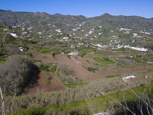
In front of us, we shall contemplate the base of the ravine “ de Alonso”, we have to carry on through bet pastures and traditional crops, to reach the town of La Solana to reach the subsection of Los Corraletes, before arriving at the border of the town of Teror.
In short, we can devide the route in the following sections.
Section 1: Valsequillo-El Helechal-El Montañón-Vega de San Mateo.
Distance: About 6000 metres. Approximate time: 02:00 hours.
Section 2: Vega de San Mateo-Caserío de Solís-Cruz de la Capellanía-Cruce de la Morisca
Distance: About 2000 metres. Approximate time: 40 minutes.
Section 3: Barranco de Alonso-La Solana
Distance: About 2600 metres. Approximate time: 1:15 hours.
Section 4: Los Corraletes-Cruz del Piquillo
Distance: 1300 metres. Approximate time: 30 minutes
Path in Teror
Section 1: Cruz del Piquillo-La Cuesta-Sagrado Corazón.
Distance: About 1100 metres. Approximate time: 30 minutes.
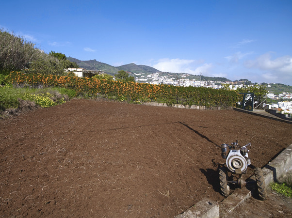
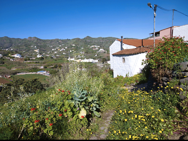
Begin at the House with the number 2 on the front wall and carry on down the cement slope there you will come across some crops of potatoes in the upper area of Teror. Cactus, agaves, tederas and the may flower (Pericallis webbii) are plants that decorate the descent until we see a white and purple house , there we turn to the right, and right again, in order to skirt a few agricultural plantations, until we reach a house with the number 17on it´s front door, this is a place known as "La Cuesta" by the apparent topography of the land. After the concrete slope, we are on the asphalt road again, turn to the left to get to the Centre of the village in the direction of the Church “ Sagrado Corazón de Jesús”, whose origin is from the devotion to the heart of Jesus Juan Jesús González, priest of Teror in 1908, instructs the artist Cirilo Moreno a first sketch. Later, when don Juan carries an ancient image of the heart of Jesus to the Church of San Isidro, residents of Los Arbejales beg him to leave the image there., Then in June 29, 1918 Bishop Angel Marquina blessed the "first temple to the heart of Jesus in Canaries", built on the lands of the of “ Roque”.
Section 2: Sagrado Corazón-El Álamo.
Distance: 2300 metres. Approximate time: 35 minutes.
This route is along a narrow road of asphalt called "Camino Vecinal Arbejales - La Molineta". It begins in front of the Church of Sagrado Corazón de Jesús, and drops sharply next to the ravine Barbuzano (on your left) following the ravine of El Ojero, now we deal with the last stretch called "Camino Real of the Alamo" to the sports facilities of the El Álamo and the square (Plaza de la Igualdad).
You just have to pay attention where the road crosses the ravine on a bridge there after crossing, take the right and go down.
Section 3: Urban section from El Álamo to the town centre of Teror.
Distance: 1400 metres. Approximate time: 25 minutes.
Now we have descend to the street "Pintora y Escultora Pino Falcon" till the next junction, where you take
the left hand to La Ligüeña walk, followed by “Walk of Florian”. In this stretch, we will find a Bridge to cross over the ravine of Teror and then go to the town centre by "El Chorrito" street.